by: Ronica Stromberg, NRT & EPSCoR Program Coordinator
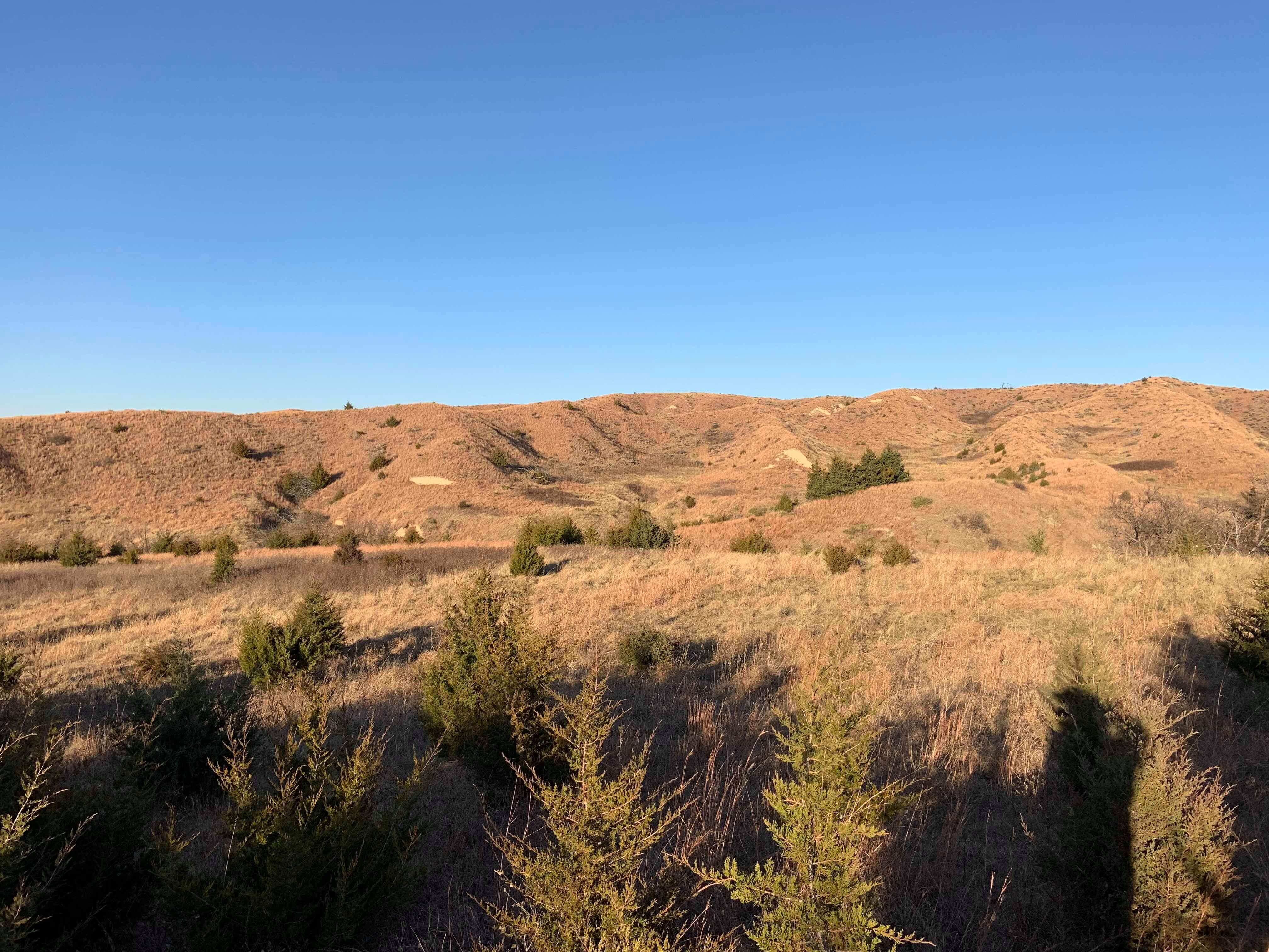
Great Plains grasslands are collapsing and changing into woodlands, threatening the way of life of locals, especially farmers whose livestock can no longer graze well, and prairie wildlife. Three University of Nebraska scientists are determined to stop this change from happening in the Sandhills and other parts of Nebraska.
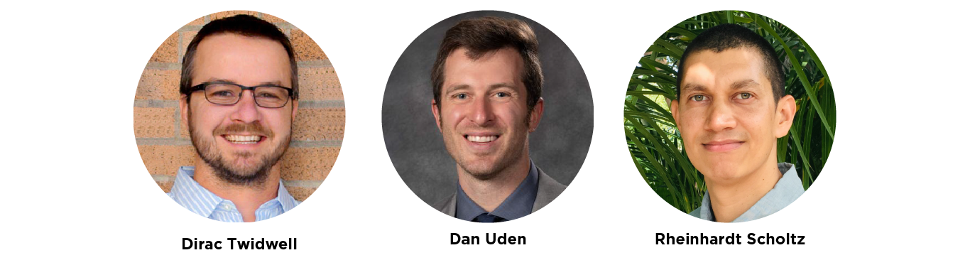
Professors Dirac Twidwell and Dan Uden are working with Rheinhardt Scholtz, a postdoctoral scholar, in the Nebraska-Montana EPSCoR project to use technology to screen land for harmful change and work with locals to fight it.
The three have been using scientific theory, data from the free Rangeland Analysis Platform online and cloud computing, particularly Google Earth Engine, to spot early signs of change and predict its direction and pace.
Twidwell, the agronomy professor leading the group, said he was surprised by what their initial analysis showed about how much land in Nebraska is collapsing from a grassland state to woodland.
“What we’re concerned with is, what scale of collapse are we seeing occurring?” he said. “I didn’t think it would be the biome when we first started this project. I thought it would be an expansive problem for rangelands, but we have collapse occurring across the biome, not just local patches. This is a major issue because most of our conservation efforts are best suited to solve local problems, not biome threats.”
Twidwell has been working across the state with organizations such as the Natural Resources Conservation Service, Nebraska Game and Parks Commission, and Pheasants Forever and rancher groups like prescribed burn associations to fight back eastern red cedars and other trees spreading from the southeast corner of the state up to the northwest corner.
Lands burned by rancher groups in the Loess Canyons show up in the new screening technology as free of red cedars.
“This is the first data we know of that shows a halt in the shift to woodland,” Twidwell said. “All of this is part of a regional effort to conserve land and update conservation practices. It has been touted as a national success story. It’s a huge, huge deal.”
Contrary to the way land changes are normally fought, the groups in the Loess Canyons worked at the boundary of the change rather than at the worst part and saw a reversal within 10 years, Twidwell said.
“It’s one of the most progressive fire management groups in the world right here in Nebraska,” he said.
He, Uden and Scholtz have been advancing the screening technology, resilience informatics, to help other groups get ahead of harmful land change.
“That’s where this technology and approach are useful. We can now give Nebraska landowners and industry an early warning of where ecosystems are vulnerable to collapse so they can adapt management practices before they experience losses to their livelihoods,” he said.
The resilience informatics technology is complex, building on years of prior scientific work.
“What we’re dealing with is a ton of data: 36 years, 10 functional group combinations, 6 moving windows, thousands of western U.S. images, and hundreds of thousands of smaller-extent images,” Scholtz said.
He has been working on analyzing the data from the Rangeland Analysis Platform that screens for change across six scales, ranging from local, such as a patch within a property, to broader, such as an ecoregion spanning multiple counties.
“What we need to do is integrate all of that into some sort of data matrix where your pixel is pretty much a distribution and then try to map that because it’s all about that visualization process across multiple scales is really where we want to be,” Scholtz said.
The maps they are now producing of landscapes indicate “groups” such as trees, grasses and bare ground. Each pixel on the maps represents a 30-meter square area. The scientists calculate an average of the percentage of the land covered by different groups at each pixel.
Each pixel does not have just one value but may have a matrix of values, said Uden, a professor in range and forage sciences.
“For every pixel on the map, we can get an indication of the spatial relationship between these different things, how they are interacting with one another, the degree to which they’re in contrast in the surrounding area,” Uden said. “Basically, we’re looking for areas where you have spatial separation or segregation of things.”
In that way, they can detect boundaries like the outer edge of land burned by wildfire, a blowout in the Sandhills or land changing from grassland to woodland.
The researchers have used green on the map for pixels depicting areas with a high percentage of grass and little or no change. They use red for areas that have trees and are changing to woodland. Between the two are yellow pixels signaling an early warning of this shift to woodland.
The researchers can see from 1990 to 2020 how woodland has been encroaching on Nebraska from the southeast corner and moving in a northwest direction across the state.
The EPSCoR project recently surveyed landowners along the southeast-to-northwest transect to see how aware they were of the vegetation change, how they might have tried to prevent it and whether they were willing to counteract it and saw themselves as capable of doing so. The results of that survey are still being determined.
The Nebraska-Montana EPSCoR team plans to also look at cheatgrass spreading in Montana and has been considering surveying conservation professionals in Montana.
Twidwell said problems of vegetation change are happening at a larger scale than any landowner’s property and will need to be addressed at a larger scale also, like with local governments and conservation agencies.
“In North America, we are tracking collapse across all of it,” he said. “Given that all scales are important in the structure and function of natural resources, how do we interact with the system to transform going forward in an era when ecosystem collapse is becoming more common? At least now we can show people early warning of this type of collapse across multiple scales and give people a fighting chance to minimize the impacts.”
He said landowners typically try to address problems on the land by focusing on their own property, but these changes in vegetation are much larger than that.
“We’re so worried about managing what’s in our backyard, and—Bam!—this wave hits you, and it totally changes the pressure that these groups are feeling from a management standpoint,” he said.
The EPSCoR team hopes to use resilience informatics, he said, to give people an early warning of the vegetation change coming and give them a strategy to deal with it.
“Given the hemorrhaging of global grassland conservation, what in the world do we do? We ought to anchor to our more intact areas where we have greater potential to rapidly transform and scale up conservation,” he said.
“If we’re able to respond earlier and adapt before collapse happens, that’s huge for sustaining the legacy of grasslands for future generations,” he said.