Content
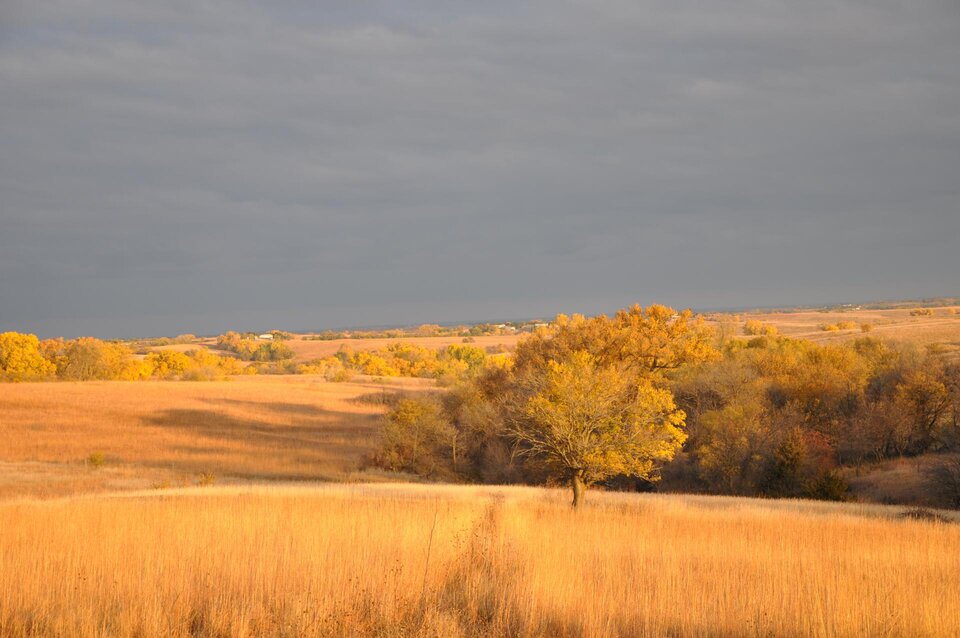
The Denton Grasslands (or Denton Hills) are a grass-dominated landscape in the shadows of Lincoln, NE. These grasslands can serve as exemplar for habitat management experimentation and demonstration, prescribed fire, collaboratively-driven landowner engagement and education, and provide an exemplary sense of place to landowners and the general public.
However, this landscape is rapidly changing, with fundamental land-use changes (from agriculture to exurban) and continuing invasion of grasslands by a number of native and non-native woody species. These challenges are not insurmountable but require stakeholders to identify common goals and a shared vision for the landscape’s future. Building on core concepts of resilience science, we introduced a collaborative framework that may hold promise for addressing complex resource management issues in Nebraska
What Does Collaborative Adaptive Management Look Like?
In 2021, the nearby Spring Creek Audubon Center, alongside CRAWL, hosted scenario-planning workshops with local stakeholders. Bringing together a diverse group of individuals and interests is a core principle of the CAM framework (collaborative adaptive management). Through enhanced participation, trust and transparency around land-use decisions can be fostered. This inclusive approach seeks to fully account for the needs of people within the surrounding ecosystem.
Using the CAM framework, the group advanced scenarios that reflected possible outcomes for the landscape. Advanced woody encroachment, urban development among others were constructed representing holistic outcomes for the landscape. Within each scenario, stakeholders were asked to assess pros and cons, identify trade-offs among the available choices, and arrive at conceptual visions of the landscape.
What Are We Learning?
Collaborative scenario planning is one way to ensure goals for the landscape are discussed in relation to the trade-offs that they may create. For example, the treatment of invasive and nonnative plant species in the region. The most economical method to control woody plant encroachment is the use of prescribed fire; however, other landowners may not want fire close to their property. Addressing a range of issues, including societal concerns, is a key management challenge in fragmented landscapes.
Using the collaborative scenarios, however, CRAWL researchers can model possible future conditions of the surrounding landscape. How are key aspects of livelihoods impacted, how are ecological resources affected, and what will likely become the ‘new normal’ for those who live in these grasslands? Subsequently, these scenarios can be extrapolated to assess how a given landscape functions in the broader array of environmental services (erosion control, habitat fragmentation, etc.) in southeast Nebraska.
Stakeholders identified the Denton Hills Grasslands as a culturally unique, ecologically sensitive area. Members arrived at three focal points for scenario modeling and assessment: Woody plant encroachment, urban expansion, and water usage/availability.
What’s Next?
Efforts are underway to assess key data points to give stakeholders sound information to inform the natural resource management of the region. Spring Creek Audubon will serve as a nexus for the Denton Hills landscape. Because the landscape is fragmented and under development pressure, collaborative and cross-boundary efforts will be needed to ensure this landscape stays in a desirable state. Tree invasions are one of the more pressing threats in this landscape, and public roadways verges and shared fence lines serve as seed sources for tree invasion into Denton Hills grasslands; addressing these threats requires collaboration and coordination.